Oklahoma has over 400 drivable miles of Route 66, which includes more miles of original alignment (path or routing) than any other Route 66 state. In addition, nice stretches of the original cement paving laid down in 1932-1933 still remain in western Oklahoma. In other states, the interstates have obliterated entire sections of the road.
Over time, the pathway of 66 changed, especially as paving was introduced. This was done to eliminate sharp turns, bypass some smaller communities, eliminate railroad crossings, and to create bypasses in major metropolitan areas to avoid traffic congestion. Of the original 2,448 miles that made up Route 66, about 80-85% is still drivable. We are fortunate that, in Oklahoma, virtually all of the Route remains intact.
Interstate vs. Historic Route 66
In Oklahoma, you can travel almost all of old Route 66 without getting on the interstate system. Although there are a few spots where you must either jog over, under, or briefly merge onto the interstate and then exit again, unavoidable interstate travel is not as extensive as it is in the other Route 66 states. Some sections of Historic Route 66 parallel the interstate system, other sections wander totally away into the countryside. Additionally, Historic Route 66 is marked on certain interstate exits to help ensure travelers can find the old road.

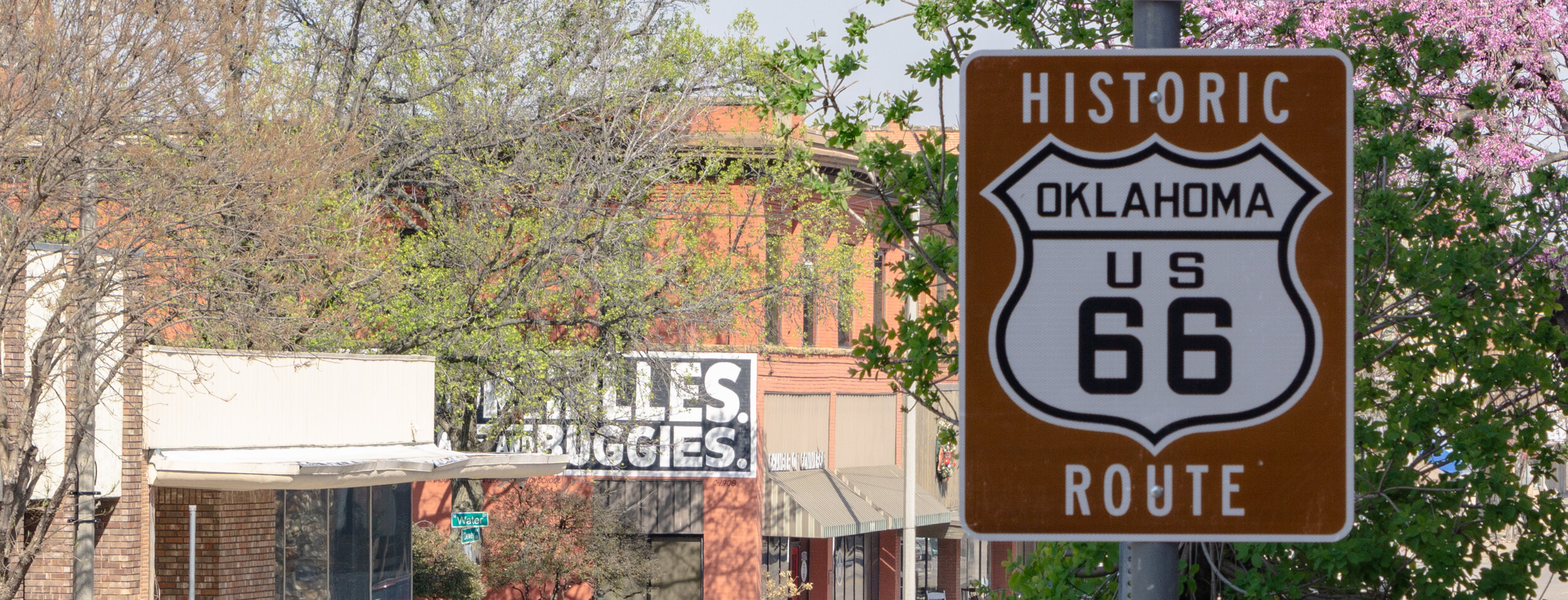
Historic Route 66 next to I-40 in Clinton
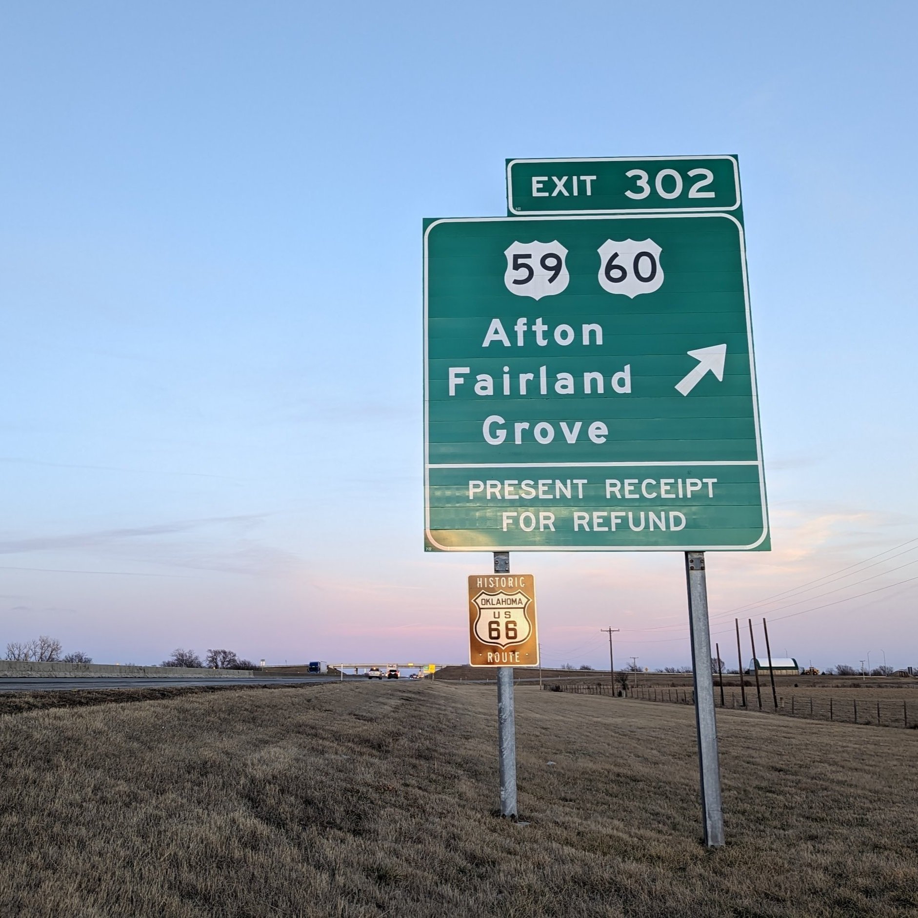
Will Rogers Turnpike exit with new 2021 signage
Wayfinding Signs & Tips
Current state maps do not show the routing of Route 66, as it was de-certified in 1985. Oklahoma was the first to attempt marking the Route with brown and white Historic Route 66 signs. Over the years, many have been stolen, blown down, struck by cars, or severely weathered. Although a new initiative in 2021 replaced many signs and added new ones, we highly recommend you supplement your journey with a travel guide or an app to help with wayfinding.

A pavement shield near downtown Tulsa
Another sign that you are on the right road is a shape on the road itself. Some towns, such as Vinita and Tulsa, and sections in western Oklahoma, have 66 shields painted on the road surface. But they are sporadic in placement and fade under wear and tear or road resurfacing; as such, you should not rely on them. Historic Route 66 signs sometimes go missing, too…therefore, you MUST use a specially prepared Route 66 map or guide to travel 66 through the entire state reliably. We heartily recommend our Oklahoma Route 66 Association Official Trip Guide.
Oklahoma State Highway 66 - SOMETIMES Historic Route 66 but not ALWAYS
The easiest-to-find sections in Oklahoma are those still marked as State Highway 66. These areas are (east to west):
just west of Vinita to Catoosa (east of Tulsa)
Sapulpa (west of Tulsa) to I-35/2nd Street exit (Edmond)
west Oklahoma City on 39th Street (just west of the junction of SH 66 and I-44) to the east side of El Reno
This can be deceiving, however. In Tulsa, SH 66 signs mirror Interstate 44 and you’ll miss the historic road entirely. West of El Reno, State Highway 66 disappears entirely.
The majority of Historic Route 66 is called by county names, city street names, or other U.S. or State Highway numbers. In western Oklahoma, following the Business Loop 40 signs will guide you through the larger towns as Business 40 reflects the last alignment of 66 through those communities. However, as you leave each town you must carefully watch for where the old highway splits off so you don't end up on I-40.

Additional Resources for Travelers
In addition to the information above, there are several resources that we consider invaluable to all those who seek to travel Historic Route 66 in Oklahoma:
The Oklahoma Route 66 Association Trip Guide - this is available for free from our Business Members or directly through us for the cost of shipping. It outlines all of the towns along Oklahoma Route 66 and provides maps to help ensure you don't miss a thing!
The Oklahoma Route 66 Passport - Developed by the Oklahoma Department of Tourism, this passport is a great companion to our Trip Guide! Collect all stamps and the State Tourism Department will give you some goodies!
Greater Route 66 Resources
Check out our Greater Route 66 Resources page for more information on the seven other states that Route 66 weaves through - including mobile apps and other state association pages!